Visit weed profiles
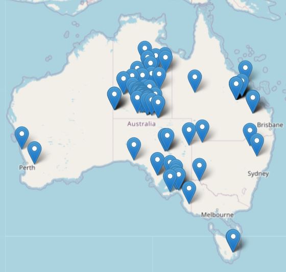
Check the distribution of individual weeds by viewing the ‘distribution tab’ on its profile. You can search weeds by common or scientific name.
Search profilesPowered by the Centre for Invasive Species Solutions


View our best practice community engagement information hub ‘Community Invasives Action‘ to enhance community involvement in your invasive species management programs
Powered by the Centre for Invasive Species Solutions


View our best practice community engagement information hub ‘Community Invasives Action‘ to enhance community involvement in your invasive species management programs
Powered by the Centre for Invasive Species Solutions

Some weeds are at the early stages of invasion in Australia and may become widespread over the coming years.
These weeds may appear benign for many years until disturbances such as:
promote their spread and establishment.
These weeds have been termed ‘environmental alert weeds’ and ‘agricultural sleeper weeds’, with most state and territory legislation now capturing species that pose a high risk.
However, other species are more established and widespread, posing significant economic, environmental and social impacts and damage.
Explore these distribution and mapping tools and resources to learn more.

Check the distribution of individual weeds by viewing the ‘distribution tab’ on its profile. You can search weeds by common or scientific name.
Search profiles
See research and data set information for invasive weeds from the Australian Bureau of Agricultural and Resource Economics and Sciences.
Distribution and impacts
This decision-support tool highlights changes to the potential distribution of over 700 non-native or invasive plants in Australia, identifying species that could become significant issues under different climate scenarios.
Use resource
Australia’s first AI weed identification and management app. Identify and record weeds in real-time or via image upload. Use the mobile or web app.
Get started
Read about the Charles Sturt University Gulbali Institute Weed Remote Sensing Community of Practice.
Learn more
Visit the hub for a comprehensive suite of resources on the latest biocontrol efforts Australia-wide.
Find resources
Find manuals and guidelines for techniques including photo points, mapping and measuring plant populations and coverage.
Access resources